The U.S. - Mexican Border: El Camino Real
May | 2015
 May 9, 2015 —
 Route 28 from El Paso to Mesilla is also known as
El Camino Real. On my second day home, my sister Elisa and I drove on
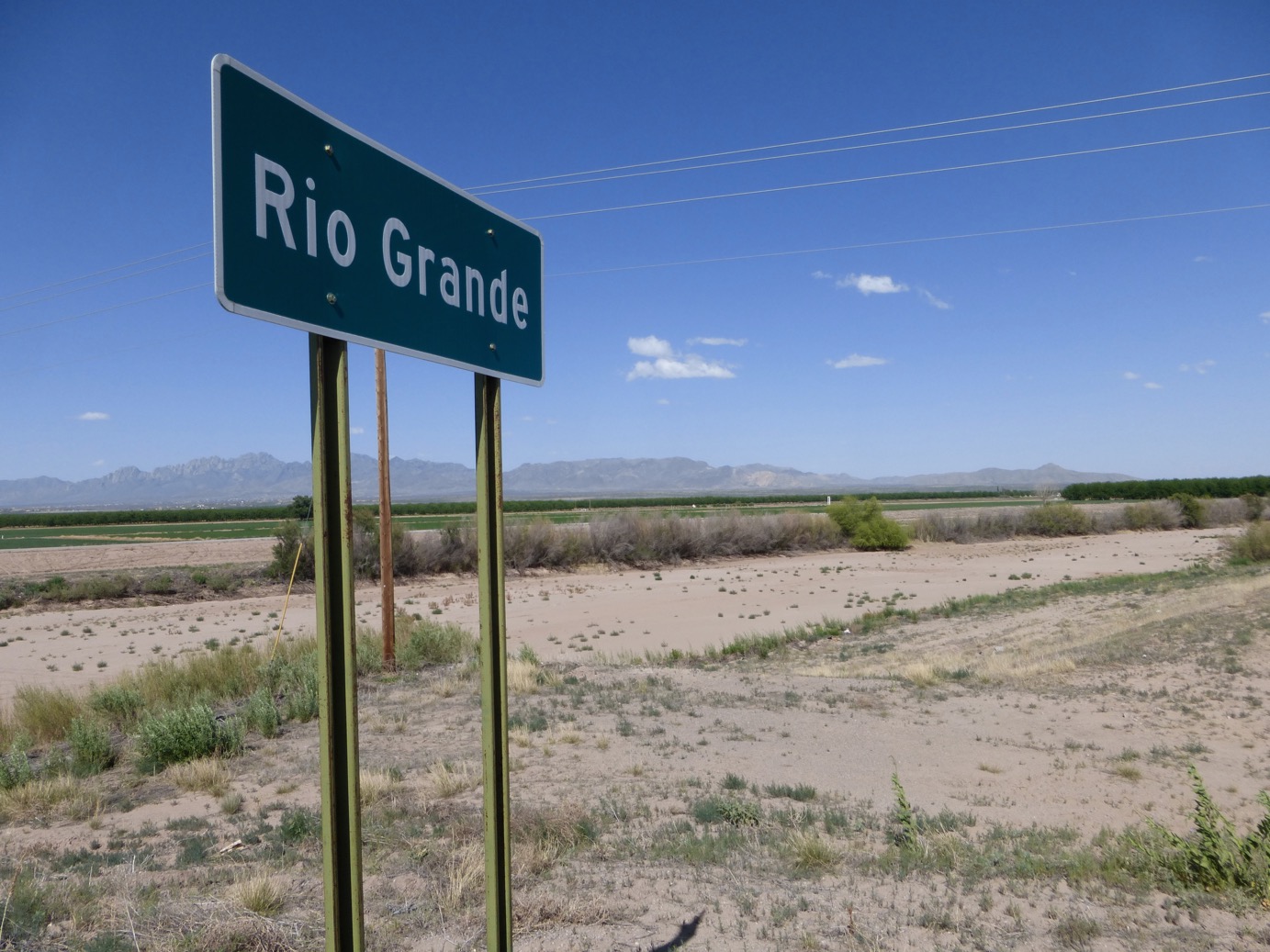
El Camino Real towards Mesilla, which is a historic neighborhood abutting Las Cruces, NM. I've traveled on this road along the border of Texas and New Mexico many times, but this time I was struck with this sign overlooking this mass patch of dirt that at one time was a raging river.
 History:
 In 1598, Spanish Conquistador Juan de Oñate and his followers founded the first European settlements along the upper Rio Grande. The new road from Mexico City to Santa Fe became the
Camino Real. This Royal Road covered 1,500 miles and linked the New Mexico provinces to the religion, language, and architecture of the colonial capital. North of Las Cruces, the marshy overflowing riverbanks became impassable for caravans on the
Camino Real. Travelers chose instead to travel on the
Jornada del Muerto, or Journey of the Dead Man.
As teenagers, Elisa and I with friends, came to this section of the Rio Grande armed with large tire tubes ready to ride the flowing Rio Grande River. On this trip, we both remarked at how sad it is to see how dry it is now. Water control is imperative here due to decades of drought. The flow of water between Mesilla and Elephant Butte dams on either side of this area is stopped every August and not reopened again until the following June. Pecan farmers in the area are forced to use underwater irrigation, and at the same time, they take advantage of this system by adding fertilizer and pesticide to the water to feed their crop.
Don Juan de Oñate and his men would not have survived this trek if the river looked like this because they relied on water to stay hydrated.
Next ➤➤


